Description
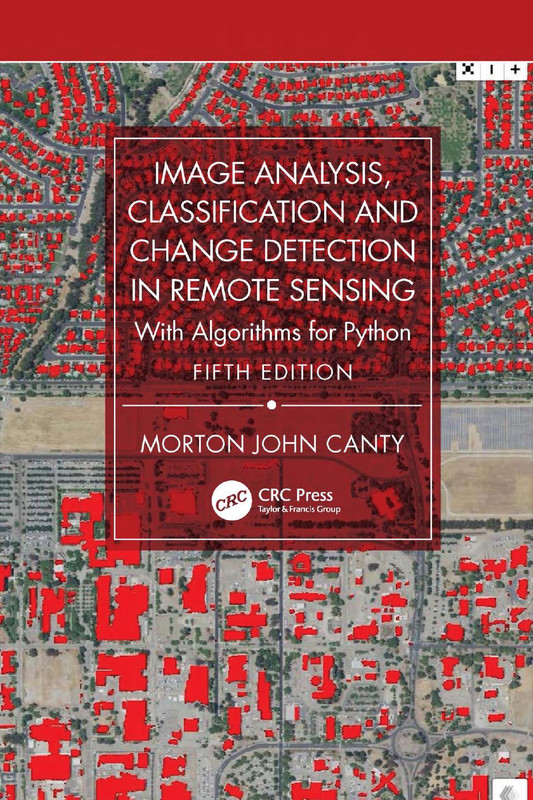
Image Analysis Classification Course
Image Analysis Classification Course is a comprehensive training designed to help learners master the principles and practical techniques of analyzing, classifying, and detecting changes in remotely sensed imagery. This course is ideal for geospatial analysts, environmental researchers, and professionals who aim to enhance their skills in remote sensing data interpretation and geographic information system (GIS) applications.
Course Description
Remote sensing plays a vital role in environmental monitoring, urban planning, and resource management. In this course, you will gain hands-on experience in processing satellite imagery, applying supervised and unsupervised classification methods, and detecting land-use and land-cover changes over time. You’ll learn how to use advanced image processing tools to extract valuable information from remote sensing data, enabling you to make informed decisions in research and field applications.
The curriculum combines theoretical knowledge with practical exercises to ensure you understand both the science and the technology behind image analysis. By the end of this course, you will confidently perform classification tasks, evaluate accuracy, and apply change detection techniques using real-world datasets.
What You’ll Learn
- Fundamentals of remote sensing and image interpretation
- Preprocessing and enhancement of satellite images
- Supervised and unsupervised image classification techniques
- Change detection methodologies and their applications
- Accuracy assessment and validation methods
- Integration of remote sensing data with GIS systems
Requirements
- Basic understanding of geography or GIS concepts
- Familiarity with computer operations
- Optional: Access to remote sensing software such as ERDAS Imagine, ENVI, or QGIS
About the Publication
This course is part of a professional training series developed by experts in Earth observation and GIS technologies. The materials include high-quality video lectures, detailed case studies, and step-by-step tutorials for learners at all levels.
Explore These Valuable Resources:
Explore Related Courses:
- GIS and Spatial Analysis
- Remote Sensing Applications
- Environmental Monitoring Techniques
- Data Analysis and Visualization
- Geographic Data Management
Overall, this Image Analysis Classification Course equips you with the necessary analytical and technical skills to process, interpret, and evaluate satellite imagery effectively. Whether you’re a student, researcher, or professional, this training will expand your expertise in spatial data analysis and empower you to contribute to projects in agriculture, forestry, disaster management, and environmental change monitoring.





Reviews
There are no reviews yet.